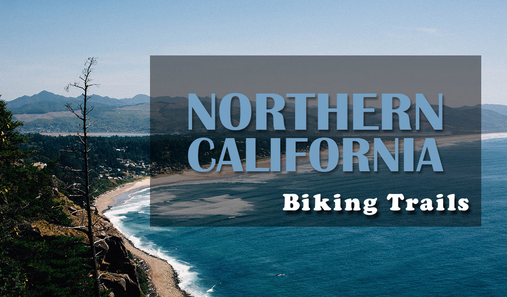
Northern California Biking Trails
We want to help cultivate your adventurous spirit and biking is a great way to do that! This week we are featuring the bike trails of Northern California. California has so many biking trails we have to feature Northern and Southern California separately! Don't forget to check in next week to see what biking trails Southern California has in store.
TRAILS
Lake Almanor Recreation Trail
Location: Chester, CA Length: 15 miles Times: N/A Fees:N/A
Parking: Almanor boat ramp & lots between Prattville and SR 89 Type: Paved path
For more information on the Lake Almanor Recreation Trail Click Here
Iron Horse Regional Trail
Location: Concord, CA Length: 27+ miles Times: N/A Fees: N/A
Parking: Along Marsh Drive for the northern trailhead Type: Paved path
For more information on the Iron Horse Regional Trail Click Here
Downieville Downhill
Location: Downieville, CA Length: 16 miles Times: N/A Fees: $20 shuttle
Parking: Yuba Expeditions (208 Main Street) Type: Mountain biking
The Downieville Downhill trail is considered one of the best mountain biking trails in Northern California. While you can drive up the mountain, there are also shuttles that can take you up and down for a hassle free ride. This trail is not recommended for beginner riders, but this trail is a great technical trail for the more experienced rider!
For more information on the Downieville Downhill Trail Click Here
Ten Mile Beach Trail (MacKerricher Haul Road Trail)
Location: Fort Bragg, CA Length: 3 miles Times: N/A Fees: N/A
Parking: MacKerricher State Park & the northern trailhead on Ward Ave. Type: Paved
For more information on the Ten Mile Beach Trail Click Here
Sir Francis Drake Bikeway (Cross Marin Trail)
Location: Lagunitas, CA Length: 5.3 miles Times: N/A Fees:N/A
Parking: Along Sir Francis Drake Boulevard Type: Paved path
Vernon McCullough Fresno River Trail
Location: Madera, CA Length: 3.4 miles Times: N/A Fees: Parking
Parking: Rotary Park on Gateway Drive Type: Paved path
For more information on the Vernon McCullough Fresno River Trail Click Here
Hammond Trail
Location: McKinleyville, CA Length: 5.5 miles Times: N/A Fees: N/A
Parking: Near Clam Beach State Park & Mad River Road Type: Paved / Dirt
For more information on Hammond Trail Click Here
Monterey Bay Coastal Trail
Location: Monterey, CA Length: 18 miles Times: N/A Fees: Parking
Parking: Corner of Ocean View Blvd. & Jewell Ave. Type: Paved path
For more information on the Monterey Bay Coastal Trail Click Here
Napa Valley Vine Trail
Location: Napa Valley, CA Length: 11+ miles Times: N/A Fees: N/A
Parking: Memorial Stadium in Napa & John F. Kennedy Park Type: Paved
El Dorado Trail
Location: Placerville, CA Length: 35+ miles Times: N/A Fees: N/A
Parking: Camelia Lane Trailhead & Placerville Station (2970 Mosquito Rd.) Type: Gravel
Porterville Rails to Trails Parkway
Location: Porterville, CA Length: 1.3 miles Times: N/A Fees: N/A
Parking: Porterville Heritage Center (256 E. Orange Avenue) Type: Paved
For more information on the Porterville Rails to Trails Parkway Click Here
Sacramento River National Recreation Trail
Location: Redding, CA Length: 11 miles Times: N/A Fees: N/A
Parking: Shasta Dam & Keswick Dam Type: Paved path
For more information on the Sacramento River National Recreation Trail Click Here
Sacramento River Parkway Trail
Location: Sacramento, CA Length: 9.5 miles Times: N/A Fees: Parking
Parking: Tiscornia Park (195 Jibboom Street) Type: Paved path
For more information on the Sacramento River Parkway Trail Click Here
Bizz Johnson National Recreation Trail
Location: Susanville, CA Length: 25+ miles Times: N/A Fees: N/A
Parking: Mason Station trailhead Type: Dirt / gravel path
The Bizz Johnson Trail has a great mix of partially arid-canyons and upland pine forests. The trail partially follows the Susan River Canyon and requires no fees. There is also an annual “Rails to Trails Festival” held in Susanville every Fall, so make sure to check it out!
For more information on the Bizz Johnson National Recreation Trail Click Here
Sutter Commuter Bikeway
Location: Sutter, CA Length: 4+ miles Times: N/A Fees: N/A
Parking: At Humphrey Road Type: Paved path
For more information on the Sutter Commuter Bikeway Click Here
Tahoe Rim Trail
Location: Tahoe City, CA Length: 165 miles Times: N/A Fees: N/A
Type: Mountain biking For more information on the Tahoe Rim Trail Click Here
The Tahoe Rim Trail is a system of multiple trails surrounding Lake Tahoe, spanning from California to Nevada. This 165 mile trail system has all kinds of rides whether it’s the mountainous climbs or the peaceful vistas. Plan your ride today!
Tahoe Trailways Bike Path
Location: Tahoe City, CA Length: 19+ miles Times: N/A Fees: N/A
Parking: 64-Acres Park (165 W. Lake Boulevard) Type: Paved path
Modoc Line Rail Trail
Location: Wendel, CA Length: 85 miles Times: N/A Fees: N/A
Type: Mountain biking / gravel path
For more information on the Modoc Line Rail Trail Click Here
Yosemite Valley Trails
Location: Yosemite Valley, CA Length: 12+ miles Times & Fees: See park website
Type: Mountain biking Trail Map Yosemite Park Site Click Here
Want to help those affected by the Northern California wildfires? Click here to visit the Red Cross website to see what you can do to help those in need!